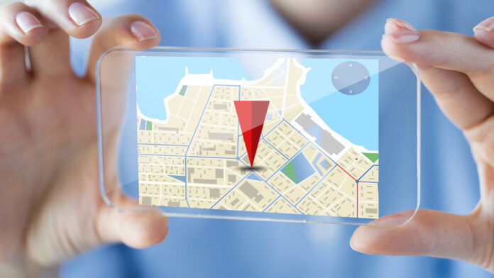
Property map technology will go a long way in terms of development in the next decade. The way real estate markets change with the expansion of metropolitan environments and evolving technology is changing. So are our ways of relating to property data; this is what property mapping over the next ten years may look like.
Merge Artificial Intelligence with Machine Learning
Artificial Intelligence and machine learning are already bringing changes to several sectors, and in property mapping, they will play an even more critical role. Sophisticated algorithms will analyze large databases, making various chores, such as projecting market analysis and zoning compliance or appraisal of properties, automatic.
Maps driven by artificial intelligence will offer predicted analysis of property value patterns, therefore guiding investors in their decisions. Real-time updates made possible by machine learning will also provide more accurate and dynamic data on areas, infrastructure development, and land usage.
3D and Immersion Map Technologies
Modern flat, two-dimensional maps will be replaced by thorough, immersive 3D maps allowing users to visually tour homes and communities. Virtual reality (VR) and augmented reality (AR) tools will enable potential renters or buyers to “walk through” a home even without physically being there. It will greatly benefit overseas buyers or those considering new construction. With drone technology, we will see aerial 3D mapping at a resolution previously impossible to achieve which will give an unprecedented level of detail in the description of buildings and landscapes.
Blockchain for Transparency of Transactions and Property Ownership
Blockchain’s slow entrance into the space will soon allow for fast mapping of properties. The distributed ledger system will eliminate obscurity in the transaction process, hence removing fraud since the records ensure safe ownership documents and easy verification processes.
Transaction procedures for buyers and sellers will become seamless with blockchain-based property maps; a tamper-proof record of ownership history, zoning laws, and entanglements in court is offered.
Smart City IoT Integration for Property Map Technology
With this growth, property maps integrated with IoT data will dynamically provide real-time insights into the urban infrastructure.
Maps will offer real-time updates on things such public transportation efficiency, traffic, air quality, and utility consumption. This will entail an unheard-of degree of information on the livability and convenience of various locations for purchasers of properties. Visualizing real-time data can help people and developers be more aware of how future projects may impact property values.
Environmental Impact Advanced Geospatial Analytics
Future property map technologies will include advanced geospatial analytics to evaluate environmental risks including flood zones, wildfire hazards, and soil stability as growing concerns about climate change call for. Predictive models will enable consumers to better grasp potential impacts of climate change on a property, and developers will be able to choose appropriate sites for environmentally friendly, resilient projects.
Cloud and Mobile Based Solutions
Property map technology’s future will surely go toward more mobile and cloud-based solutions. Users of 5G will be able to instantaneously, from anywhere in the globe, access comprehensive property maps and data. Better cooperation among real estate experts, architects, urban planners, and government agencies made possible by cloud-based technology will Simplifying property information access will help the sector to be more responsive to changes in the market and efficient.
Property Development Driven by Artificial Intelligence and Zoning Visualization in Property Map Technology
Advanced AI-driven systems that let city planners and developers visualize zoning rules, population increase, and infrastructure development over time will be of great advantage. This will make urban planning more effective since reliable data allows one to replicate several possibilities. Based on long-term forecasts, artificial intelligence will assist in determining ideal sites for either residential or commercial projects, so providing developers with a strong instrument to reduce risks and optimize returns.
Enhanced End-User Personalization
Property maps will grow more individualized for consumers as artificial intelligence and data analytics develop. Renters or homebuyers will be able to enter preferences including proximity to schools, safety ratings, or access to public facilities, and the map will create custom recommendations. Demographic, sociological, and financial data will also enable consumers to sense future neighborhood trends, therefore facilitating more strategic property investment decisions.

Hyper-accurate Mapping by the use of Drones and Satellites.
Drone and satellite technologies will significantly improve the accuracy of property maps. This will allow projection with very detailed depictions of landscapes and individual homes in concert with geospatial data. This will be key to more accurate data for building companies, urban planners, and precision agriculture when evaluating land use, topography, and property limits.
Map Green Infrastructure and Sustainability
More and more property maps will be colored green through infrastructure, renewable energy sources, and environmentally friendly developments the stronger the emphasis in sustainability. As much as homebuyers may make residences dependent upon proximity to parks, green rooftops or solar energy capabilities, the real end-users of these maps- property developers and investors-will make intelligent choices in environmentally friendly investments.
Summary
Property map technology’s Property Map Technology to be one of more immersive, intelligent, data-rich experience. From 3D visualization and sustainability mapping to AI-driven insights and blockchain security, these developments will simplify, more informed, and more transparently property-related decisions are made. These technical innovations will transform our interaction with real estate over the next ten years, so empowering people at all levels—buying, selling, developing, or planning. For both urban designers and the real estate sector, this future offers a universe of fascinating opportunities.
Read More: trump central park 5


